No: the early disruption of the polar vortex does not mean a widespread freeze is about to hit the United States. The phenomenon is taking place in the stratosphere and may shift weather probabilities weeks later, but it cannot determine by itself where, when or even whether a cold wave will reach the surface. For November 2026, NOAA’s monthly outlook still favors above-normal temperatures across much of the northern US and along both coasts.
The distinction matters because “polar vortex” is often used in headlines as shorthand for extreme cold. This time, there is a genuinely unusual disturbance and the possibility of a sudden stratospheric warming. Even so, the signal should be treated as an additional source of uncertainty—not as a ready-made forecast for any state or city.
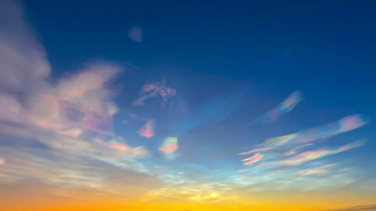
The event is far above everyday weather
The stratospheric polar vortex is a ring of westerly winds that forms around the North Pole during the cold season. It sits above the troposphere, the layer where most of the weather experienced at the surface develops. Atmospheric waves rising from below can stretch, displace or even split this circulation.
According to the Met Office explanation, the vortex was exceptionally elongated in early November amid strong activity from two large atmospheric waves. Forecasts showed the winds weakening and allowed for a brief reversal from westerly to easterly, a condition that could meet the definition of a major sudden stratospheric warming. The projected reversal was weak and short-lived, however, and the agency stressed that the event’s classification remained uncertain.
A disruption does not turn directly into a cold wave
Even when a major sudden stratospheric warming is confirmed, its effects do not descend immediately. The Met Office says that influence can reach the troposphere during the following two to six weeks. The process can increase the chance of high-pressure blocking, but the position of those blocks determines the surface outcome.
That prevents an automatic conclusion for the United States. The Weather Channel noted that a disturbance can sometimes favor patterns capable of sustaining cold air masses weeks later. For this episode, however, its meteorologists said the strong warm influence of El Niño and the limited supply of very cold air this early in the season would make major North American cold outbreaks harder to produce. A somewhat cooler period in the East in late November or early December was presented only as a possibility.
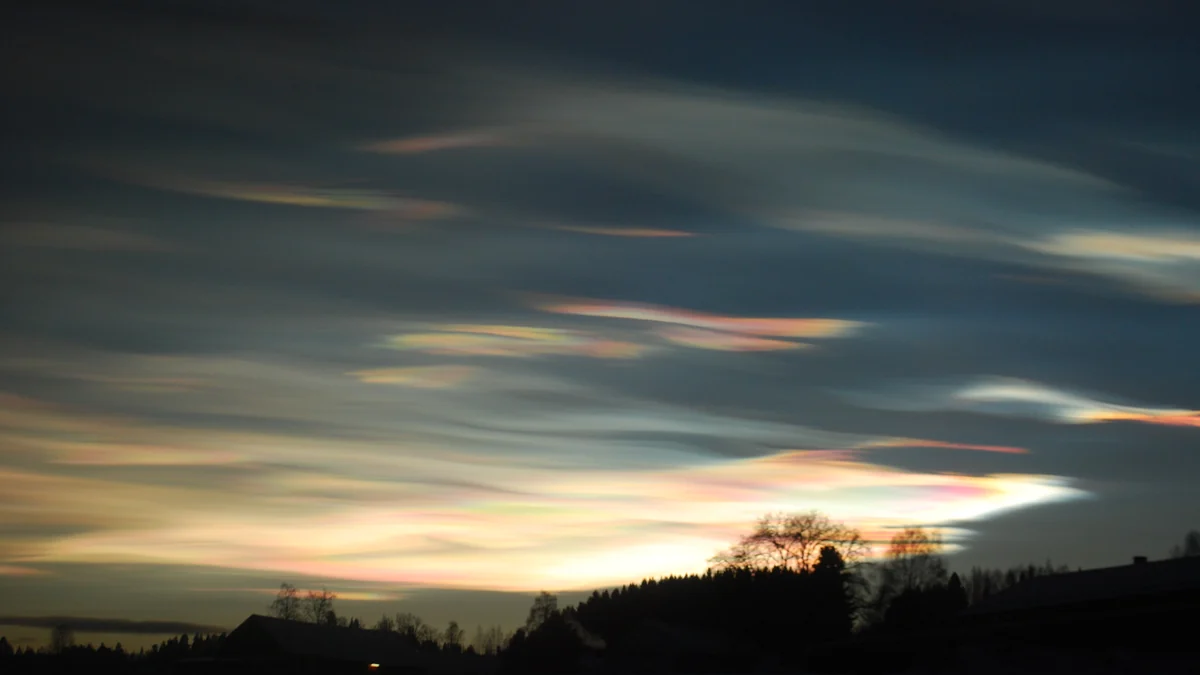
NOAA still favors a warmer November
The NOAA Climate Prediction Center monthly discussion, issued October 31, explicitly incorporated the possible vortex disruption and potential sudden warming. The agency said a November event would be very rare and that its influence could last for up to two months, usually appearing alongside a negative phase of the Arctic Oscillation.
Even with that variable, the monthly outlook retains enhanced probabilities of above-normal temperatures across the northern contiguous states and along both coasts. The highest-confidence area, with odds of 60% to 70%, covers the Northern Plains and Upper Mississippi Valley. NOAA also expanded the above-normal tilt to include more of the Southeast and Alaska.
This does not mean every day will be warm. Cold periods can still occur, and NOAA lowered some probabilities specifically because of the possible stratospheric event and negative Arctic Oscillation. Across the southern tier, where guidance diverges most, some areas have equal chances of above-, near- or below-normal temperatures.
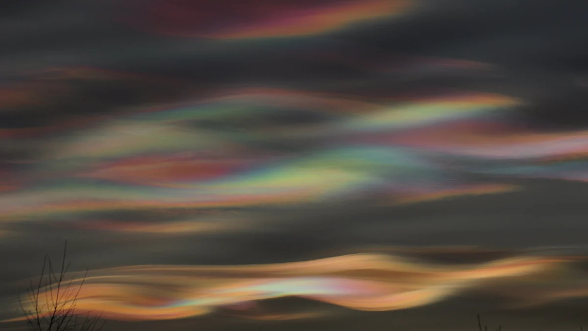
The more concrete hazard is in the West
While the stratospheric evolution remains conditional, NOAA identified a nearer-term regional threat. In a message updated November 6, the agency highlighted possible atmospheric-river activity affecting the West Coast in mid-November.
There was a moderate, 40% to 60% risk of heavy precipitation in parts of southwestern Oregon and northern and central California on November 14 and 15. Lower risks extended through November 17 over a wider part of the West. NOAA also identified the potential for high coastal winds and heavy snow at higher elevations in the Klamath and Sierra Nevada ranges.
These projections are subject to changes in track, intensity and timing. Residents and travelers should check the official page and local National Weather Service forecasts, especially before crossing higher terrain. NOAA’s guidance includes avoiding flooded roads and preparing for possible wind-related power outages.
What to watch next
There are three separate questions: whether stratospheric winds will reverse; whether that signal will descend into the troposphere; and which surface pattern will emerge over the United States. A yes to the first question does not answer the other two.
The monthly outlook compares probabilities with the 1991–2020 climate baseline; it cannot predict a city’s temperature or a specific storm. Local forecasts and alerts should govern practical decisions. For now, the responsible conclusion is straightforward: the stratospheric episode is rare and worth monitoring, but the available official forecast does not announce an imminent nationwide November freeze.
Discover Becoartes
Visit [Becoartes](https://becoartes.com/) at Rua Gonçalo Afonso, 99, Vila Madalena, São Paulo.
Becoartes - Beco do Batman
99 Gonçalo Afonso Street, Vila Madalena, São Paulo
Sources and credits
- Norwalian — CC BY 4.0
- François Guerraz — CC BY-SA 3.0
- Honzach — CC BY-SA 4.0
- Cepstral — CC BY-SA 4.0
- NOAA Climate Prediction Center — November 2026 monthly outlook discussion
- NOAA Climate Prediction Center — Key messages updated November 6
- UK Met Office — Deep dive on the early polar-vortex disturbance
- The Weather Channel — Early polar-vortex stretching and US implications