The Uruguay River was above flood stage at Barra do Guarita and at the alert threshold in Porto Mauá on Friday, November 6. For Saturday, November 7, the flood wave could reach the alert threshold between São Borja and Itaqui. On the Jacuí, the bulletin reported the attention threshold at Dona Francisca, rising water from Cachoeira do Sul onward and a possible attention threshold around Charqueadas. These are the stretches that require monitoring, without treating the forecast as confirmation that every location will flood.
The most direct way to monitor different places is to register each ZIP code of interest with the free 40199 SMS service. More than one ZIP code can be registered, covering a home, workplace, school or relatives’ addresses.
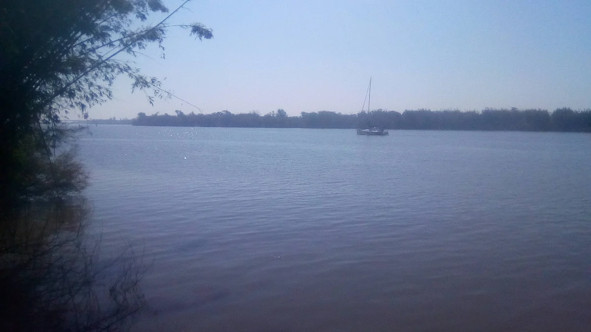
Where the flood wave was advancing on the Uruguay River
The Rio Grande do Sul Civil Defense hydrological forecast, dated November 6, described a flood wave moving along the Uruguay and Jacuí rivers. The available official text gives no verifiable publication time for the forecast; times displayed on the page belong to separate alerts and should not be attributed to it.
On the Uruguay, the highest reported condition was at Barra do Guarita, where the river was already above flood stage. Porto Mauá was at the alert threshold, while levels were rising downstream. For Saturday, the forecast said the alert threshold could be reached along the stretch between São Borja and Itaqui.
This sequence helps explain the movement described in the bulletin, but it cannot be used to calculate when water will reach an individual neighborhood or property. The available notice gives no water heights in meters, rate of advance or street-level timetable.
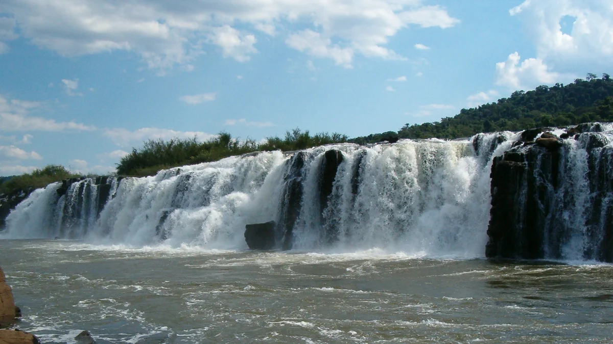
What to watch along the Jacuí
On the Jacuí River, Dona Francisca was at the attention threshold. Civil Defense reported rising levels from Cachoeira do Sul onward and said the river could reach the attention threshold in that area. As the flood wave moved on, Charqueadas could also reach that threshold on Saturday.
The same forecast mentioned a risk of flooding in streams and small rivers in the north and northeast of the state because of expected rain. That information should not be applied automatically to every municipality: local risk depends on current warnings and official maps.
Attention, alert and flood are not interchangeable
The state notice organizes conditions into attention, alert and flood levels, according to risk maps. In this case, “could reach” indicates a forecast possibility, while “above flood stage” describes a threshold already exceeded at the monitored point in Barra do Guarita.
The official text does not provide a single table assigning one measurement to each threshold across all towns. It is therefore unsafe to apply one monitoring station’s stage to another river stretch or to conclude from the category alone that a particular home will be affected. The relevant references are the station, map and warning associated with that locality.
How to register multiple addresses with 40199
To receive messages, send the ZIP code for the area you want to monitor by SMS to 40199. The service is free and sends a confirmation after registration. According to Brazil’s Ministry of Communications, users may register more than one ZIP code.
This means a person can include the ZIP codes for a home, workplace, school or relatives’ homes. ZIP-code registration complements — but does not replace — specific instructions issued by municipal and state authorities.
The Rio Grande do Sul government explains that WhatsApp service through (61) 2034-4611 delivers content from Brazil’s National Civil Defense, rather than notices produced specifically by the state agency. The official RS Civil Defense WhatsApp channel and state website are separate ways to follow local updates. Messages are not guaranteed to be available in English.
When a warning appears automatically
Cell Broadcast requires no registration. For severe and extreme alerts, a message reaches compatible devices connected to 4G or 5G networks within the affected area, including visitors’ phones. It overlays the screen and is accompanied by sound and vibration. It therefore depends on the device being present within the area reached by the mobile antennas, not on a previously registered ZIP-code list.
The channels serve different purposes: SMS covers registered locations, while Cell Broadcast reaches compatible devices physically present in the targeted area. People should not wait for an automatic message before seeking guidance, especially when a notice has already been issued for the municipality.
Where to check the latest conditions
Because river levels and forecasts can change quickly, consult the RS Civil Defense warnings and bulletins before making decisions. Prepara RS provides access to weather conditions, river levels, risk alerts, hydrometeorological stations and basin information.
Associate each registered ZIP code with the corresponding person or place and check which municipality issued the warning. If this article differs from a later update, the newest official notice and instructions from the Civil Defense authority responsible for the area take precedence.
Discover Becoartes
Visit [Becoartes](https://becoartes.com/) at Rua Gonçalo Afonso, 99, Vila Madalena, São Paulo.
Becoartes - Beco do Batman
99 Gonçalo Afonso Street, Vila Madalena, São Paulo
Sources and credits
- SamuellldS — CC BY-SA 4.0
- JOÃO LUIZ SCHNEIDER — CC BY-SA 3.0
- Marcia Cristina P Godinho — CC BY-SA 3.0
- Dieine Orsolin — CC BY-SA 4.0
- Defesa Civil do RS — prognóstico hidrológico de 6 de novembro
- Governo do RS — cadastro e funcionamento dos alertas no celular
- Ministério das Comunicações — canais nacionais de alerta
- Defesa Civil do RS — avisos e boletins hidrometeorológicos
- Prepara RS — condições, níveis dos rios e alertas