Newport Beach remains open to visitors, but that does not mean every access point is free of risk. On October 28, 2026, the National Weather Service (NWS) had a Coastal Flood Warning in effect for the area until 1 p.m. PDT on Thursday, October 29. Low-lying streets near the Balboa Peninsula had flooded on previous days, and conditions could differ from one beach or block to another.
The safest approach is to separate three questions: Is the city operating? Generally, yes. Is a specific beach or attraction accessible? That requires confirmation. Is it sensible to drive onto the peninsula without checking the route? No: review official advisories immediately before leaving and never cross a road covered by water.
The warning remains active while the city stays open
The official Visit Newport Beach page says hotels, restaurants, shops and experiences continue to operate and that beaches remain generally open. The same page cautions that access, conditions and any restrictions vary by location.
That distinction prevents two mistaken conclusions. The warning does not amount to a citywide shutdown; conversely, the city’s general operating status does not guarantee that a particular road, beach entrance or coastal facility is available when you arrive.
According to the National Weather Service update valid from 2 a.m. PDT on October 28, the Coastal Flood Warning was due to end at 1 p.m. PDT on October 29. Because the status may change after publication, check the NWS page again before traveling.
Where flooding was recently reported
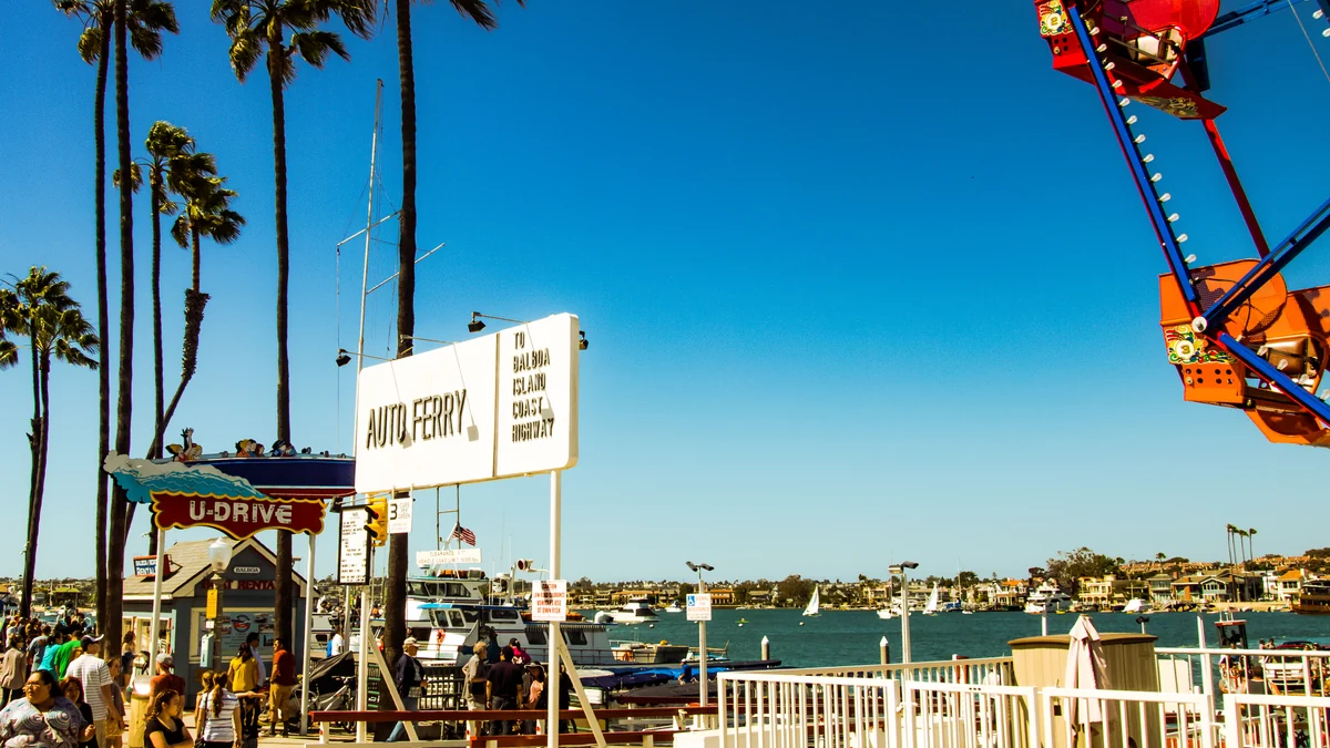
ABC7 Los Angeles documented flooding near the Balboa Peninsula on October 27. Its coverage identified water on Lido Park Drive near Lafayette Road and on 8th Street by the Newport Harbor Yacht Club. The boatyard and surrounding streets were also affected.
The area around the Balboa Fun Zone had significant flooding on Monday and less flooding during Tuesday’s high tide, when additional equipment was helping remove water, according to the report. Newport Island was also listed among the places inundated on Monday.
Those observations describe specific incidents, not a current closure list. They also do not establish that the entire peninsula, the Balboa Fun Zone or any individual business is now closed. They identify places where another trip during elevated tides calls for added caution.
An open beach does not guarantee uniform access
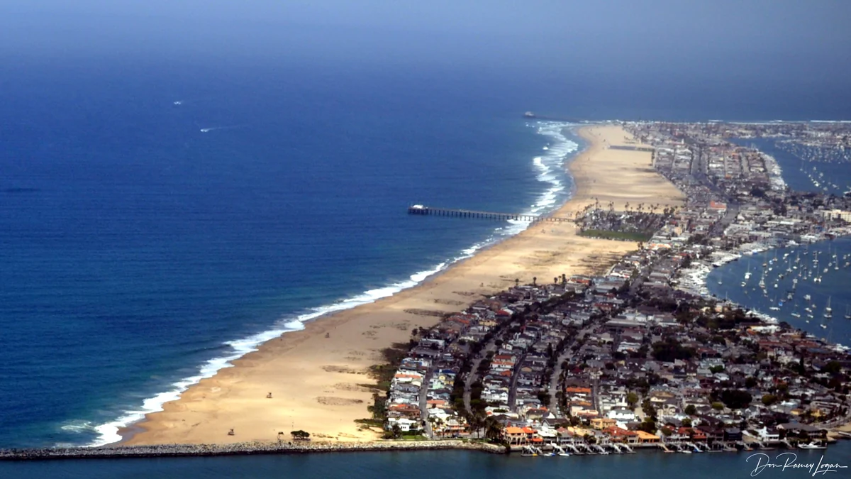
The tourism site says beaches are open but directs visitors to city advisories for localized closures and restrictions. It also notes that tides, surf and other ocean conditions can change throughout the day and differ substantially from one beach to another.
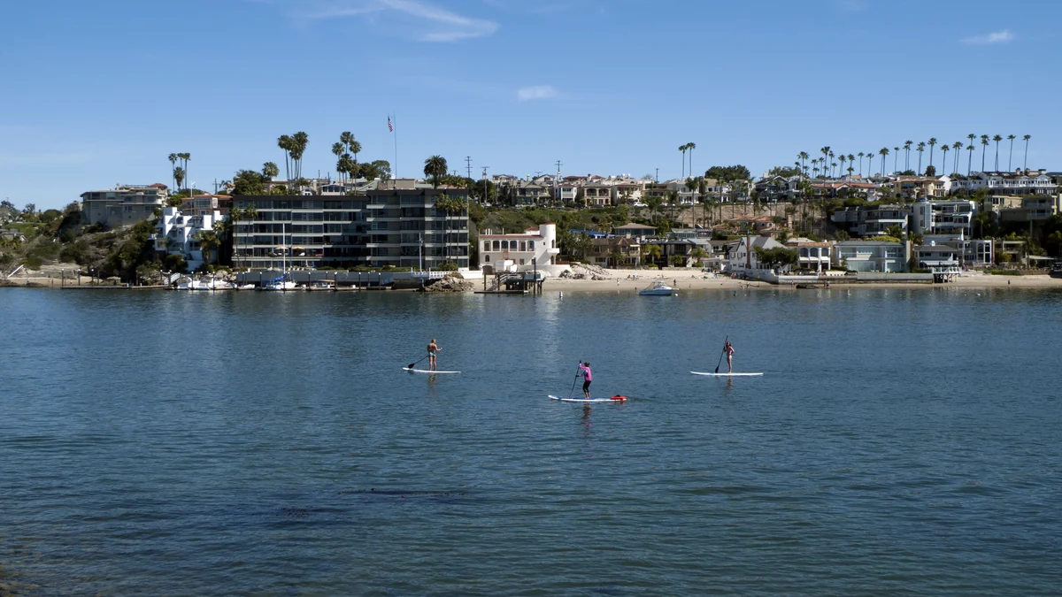
Before heading to a specific location, check official coastal advisories and then look for an update covering the access point you intend to use. Posted signs and lifeguard instructions at the site should take precedence over general information read earlier.
ABC7 reported that flooding could occur in vulnerable places including harbor walkways, beach parking lots, bike paths and beaches. This describes potential exposure, not confirmation that every such place flooded or closed. Do not assume parking is available merely because the beach is listed as open.
How to make a decision before leaving
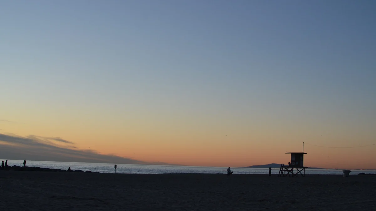
For hotels, restaurants or shops away from affected spots, the available destination guidance indicates general operations continue, but confirm directly with the place you plan to visit. For a beach trip, review ocean conditions and access advisories shortly before departure. For travel through the Balboa Peninsula, check your route and choose another one if you encounter water, barriers or instructions from local crews.
Anyone planning to leave a vehicle in a low-lying area should inspect current street and site conditions upon arrival. Recent coverage showed water reaching roads and a boatyard; it does not confirm the present condition of each parking facility.
If a road is flooded, do not try to determine its depth by driving or walking through it. Turn back and find a dry route. That remains the appropriate choice even if other vehicles proceed or the destination appears close.
Which pages to check
Use the NWS to confirm whether the warning remains in force and to see the point forecast for Newport Beach. Check the Visit Newport Beach coastal conditions page for links to official notices about beaches, the coastline and possible restrictions.
The ABC7 report is useful for identifying recently affected locations, but it does not replace an official closure notice. Because closures can change faster than this article, an area omitted here should not automatically be treated as clear.
What the warning deadline actually means
The stated expiration time reflects the duration anticipated by the NWS in the update reviewed. It does not certify that all water will have receded or that every access point will reopen precisely at 1 p.m. PDT on October 29. Likewise, the warning’s expiration does not override signs, barriers or local orders.
For residents and visitors, the practical answer is straightforward: Newport Beach is not closed as a whole, but the Balboa Peninsula and other low-lying coastal areas require a location-by-location check. Revisit the official sources, keep an alternate route available and abandon the local plan if water or a restriction blocks the way.
Visit Becoartes
Find [Becoartes](https://becoartes.com/) at Rua Gonçalo Afonso, 99, Vila Madalena, São Paulo.
Becoartes - Beco do Batman
99 Gonçalo Afonso Street, Vila Madalena, São Paulo
Sources and credits
- Ian D. Keating — CC BY 2.0
- Don Ramey Logan — CC BY-SA 3.0
- Don Ramey Logan — CC BY-SA 3.0
- Jack CameraMan — CC BY 3.0
- National Weather Service — previsão e Coastal Flood Warning para Newport Beach
- Visit Newport Beach — condições costeiras e situação das atrações
- ABC7 Los Angeles — locais atingidos e evolução das inundações