If you need to decide whether to go out or travel in France, first check the Météo-France weather vigilance map for the wider situation in each department. If a river lies along the route or near the destination, also open Vigicrues. The maps do not compete with each other: they measure related but distinct hazards. Their colours can therefore differ without either source being wrong.
In the information recorded on November 14, 2026, Vigicrues showed a maximum yellow level in metropolitan France, with three river sections at that level. This snapshot can change; check the current map, bulletin time and local information immediately before travelling.
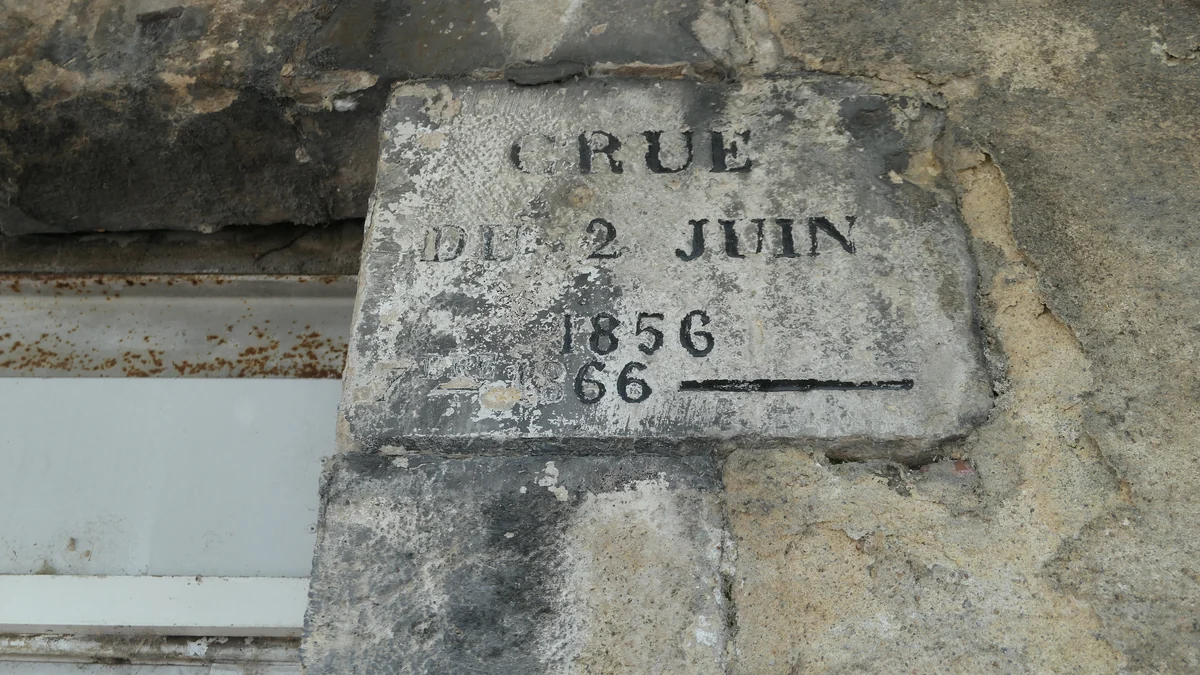
Météo-France shows department-wide hazards
The Météo-France pluie-inondation category combines expected rainfall with potential water impacts outside the rivers monitored by the state. It covers surface runoff, water collecting in low-lying places, overloaded urban drainage, rising groundwater and the overflow of smaller waterways not covered by Vigicrues.
This is why a city may be under a rain-flood warning even when no major river is in flood. Concentrated rainfall may inundate an underpass, a sunken road or an underground car park before a significant flood develops on a monitored river section. The Météo-France page about rain and flood hazards also identifies landslides and mudflows as possible consequences.
The colour applies at department level. It helps assess the broader context of a journey, but it does not mean that every location in the department will experience the same conditions.
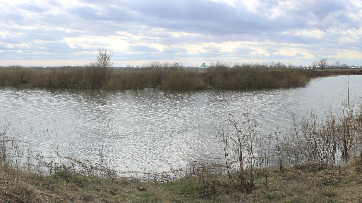
Vigicrues monitors specific river sections
Vigicrues answers a different question: what is the risk of rising water and overflow along river sections included in the state’s regulated monitoring network? Information is organised by section and accompanied by bulletins and, depending on the station, water levels, discharge, trends or forecasts.
According to the French Ministry for Ecological Transition, flood vigilance describes the potential danger over the following 24 hours. The system uses rainfall, water-level and discharge data together with expert forecasting. Not every French stream or river appears on the map; it covers the principal waterways for which state monitoring has been established.
Anyone staying beside a river, crossing a bridge or using a riverside road should not rely only on the national colour. Select the relevant territory, open the appropriate river section and read the local bulletin.
Why the two colours may differ
A department can be orange for rain and flooding while a monitored river remains yellow or green. Expected rain may threaten urban areas, minor waterways and low points without producing a major flood on the monitored section during the same period.
The reverse can also happen. A river may keep rising after the heaviest rain has ended because each catchment responds at its own pace. Weather vigilance may then be downgraded while the river hazard remains.
Météo-France’s own explanation separates pluie-inondation from the rise and overflow of state-monitored rivers. Do not simply follow whichever map displays the higher colour. First identify which hazard could affect the route.
A practical checking order before departure
Start with Météo-France and check the departure department, every department crossed and the destination. Read the bulletin rather than relying on the colour alone, and note whether the hazard is rain-flood, storms or something else.
Then consult Vigicrues if the route approaches rivers. Open the relevant sections, check the timestamp and give priority to national and local bulletins. The Vigicrues FAQ warns that raw station readings may contain anomalous values; bulletins take precedence when the information conflicts.
Finally, look for instructions from the prefecture, mairie and other local authorities concerning closures, evacuation or traffic. A vigilance colour does not prove that a particular road is open. Never proceed onto a road wholly or partly covered by water, even if a navigation app continues to suggest it.
Yellow does not mean no risk
On the four-colour scale, green means no particular vigilance is required, but it does not promise good weather or rule out a local rise in river level. Yellow indicates a potentially hazardous phenomenon, particularly for exposed activities or locations. Under yellow Vigicrues conditions, riverside parking areas, low crossings and water activities may still be affected.
Orange and red require increasing attention to official instructions. For orange rain-flood vigilance, Météo-France advises avoiding travel, staying away from rivers and low points, never entering flooded roads and monitoring rising water. Under red, its guidance includes remaining in a safe place, not using a car and evacuating only when instructed by the authorities.
Vigilance is not the same as an alert
Vigilance helps the public and authorities prepare for a possible hazard. An alert is issued when the danger is established and protective action is required. Vigicrues explains that an alert may be triggered by the préfet and relayed to municipalities and the public.
In practice, use Météo-France and Vigicrues to make decisions early, but immediately follow any official instruction received or published locally. Maps, levels and bulletins change, so reopen the official sources shortly before departure even if you checked them earlier in the day.
Discover Becoartes
Visit [Becoartes](https://becoartes.com/) at Rua Gonçalo Afonso, 99, Vila Madalena, São Paulo.
Becoartes - Beco do Batman
99 Gonçalo Afonso Street, Vila Madalena, São Paulo
Sources and credits
- Fab5669 — CC BY-SA 4.0
- Иван Манилов — CC BY 3.0
- Météo-France — carte officielle de vigilance
- Vigicrues — information officielle sur les crues
- Météo-France — questions et réponses sur la vigilance
- Ministère de la Transition écologique — prévision des inondations et vigilance crues
- Vigicrues — foire aux questions
- Météo-France — dangers pluie-inondation