The most critical period begins Tuesday, November 3, in Rio Grande do Sul, where hail, gusts above 90 km/h and heavy rain are forecast in specified areas. In Paraná, the risk increases Wednesday and continues Thursday, when an extratropical cyclone is expected to form off Brazil’s southern coast. This does not mean that every municipality faces the same degree of danger: a regional forecast and a local alert are different, and the guidance applying to each person depends on official state and municipal channels.
The operational sources for this article were checked on November 3, 2026, at 12:31 a.m. (UTC−3). Because warnings can change quickly, check the official links and the latest municipal instructions before deciding to travel, change your route or leave an area.
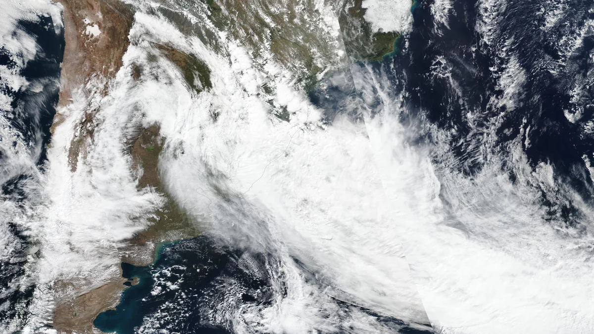
Tuesday, November 3: greatest concern in Rio Grande do Sul
The Rio Grande do Sul Civil Defense forecasts storms, mainly during the afternoon and evening, in parts of the Oeste, Campanha, Centro, Missões, Noroeste, Norte, Vales, Porto Alegre Metropolitan Region, Serra, Nordeste and Litoral Norte areas. Hail, including large stones, and gusts exceeding 90 km/h are possible.
Rainfall in Missões, Noroeste and Norte may reach 40 to 150 millimeters in one day and exceed 100 millimeters within 12 hours. These figures identify the areas at greatest risk; they are not guaranteed totals for every city listed.
In Paraná, Simepar expects hot, humid weather, with isolated showers, lightning and possible localized storms from the afternoon onward.
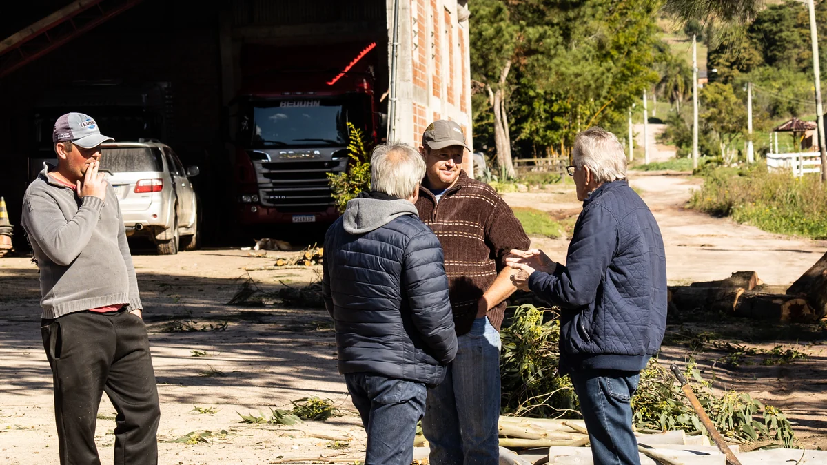
Wednesday, November 4: intense rain and flooding risk
In Rio Grande do Sul, the risk of hail and gusts above 90 km/h continues through the early morning and morning in parts of Oeste, Missões, Centro, Noroeste, Norte, Vales, the metropolitan region, Serra, Nordeste and Litoral Norte. Isolated severe storms may affect the Norte area during the afternoon and evening. Total rainfall through the end of the advisory may exceed 200 millimeters in parts of Missões, Noroeste and Norte.
The state’s hydrological outlook identifies a risk of urban flooding, rising streams and small rivers, and downstream propagation into larger rivers, including the Alto Uruguai, Alto Jacuí, Taquari and Caí basins. Official maps may identify attention, alert or flood conditions depending on the area.
Rain is possible throughout Paraná. The risk of intense storms is concentrated in the southern half, while the northern half may experience strong heating. Simepar also says supercells could form.

Thursday and Friday: the risk shifts
On Thursday, November 5, Simepar forecasts the formation of an extratropical cyclone off southern Brazil, accompanied by an advancing cold front. Storms should move from southern to northern Paraná, with the possibility of potentially severe weather.
A broader Climatempo forecast indicates increasing chances of heavy rain in Brazil’s Southeast and Center-West on Thursday. On Friday, November 6, the front is expected to increase instability in Espírito Santo, northern Minas Gerais, Goiás, the Federal District, Mato Grosso, Bahia and Tocantins. This is a national forecast, not a local alert covering everyone in those areas. Isolated showers with lightning may continue in western Paraná.
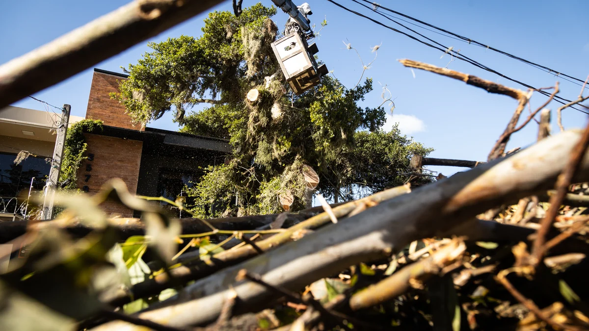
A regional forecast is not a municipal alert
A forecast describes where atmospheric conditions favor dangerous weather. An operational alert covers a more specific area and period and may change as a storm evolves. A city within a forecast region is therefore not automatically under the highest alert; similarly, a developing storm cell may require a rapid response before the next general bulletin.
Check state and municipal Civil Defense information before traveling or changing your route. In Paraná, Simepar says residents can text their postal code to 4199 to receive State Civil Defense alerts. This Brazilian service and official warnings may be issued only in Portuguese. In every state, follow the latest local instructions.
What to do at each alert level
The colors below follow Rio Grande do Sul government guidance. They organize the response to a storm but do not override a municipal evacuation order.
- Yellow, moderate risk: inspect gutters, drains, roofs and trees. Ask the municipal Civil Defense about nearby hazards, safe locations and the contingency plan.
- Orange, high risk: stay sheltered during the storm. If leaving is essential, check the route, consider where to park and protect pets. Ask Civil Defense whether you need to leave the area.
- Red, very high risk: seek or remain in safe shelter. Stay away from trees and metal structures, and prepare a kit with documents, clothes, water and medication. Be ready to leave immediately if officials instruct you to do so.
- Purple, extreme risk: leave immediately if you are in a risk area; remain protected if you are already safe. Assist vulnerable people and those with reduced mobility, and protect your head from falling or wind-blown objects.
Floodwater requires an additional rule
Under red and purple alerts, do not cross flooded areas on foot or by car. Do not return to an evacuated area until officials declare it safe. Make arrangements for pets if you need to leave your home.
The practical distinction is simple: treat the forecast as a signal to prepare and the local alert as an instruction to act. If the color or guidance changes, follow the latest direction from the Civil Defense authority responsible for your area.
Discover Becoartes
Discover [Becoartes](https://becoartes.com/) at Rua Gonçalo Afonso, 99, Vila Madalena, São Paulo.
Becoartes - Beco do Batman
99 Gonçalo Afonso Street, Vila Madalena, São Paulo
Sources and credits
- Suomi NPP / VIIRS — Public domain
- Prefeitura de Pelotas — Public domain
- Prefeitura de Pelotas — Public domain
- Prefeitura de Pelotas — Public domain
- Defesa Civil do RS — prognóstico meteorológico atualizado em 2 de novembro
- Defesa Civil do RS — prognóstico hidrológico atualizado em 2 de novembro
- Governo do RS — como agir em caso de temporal
- Governo do Paraná/Simepar — risco de tempestades associado ao ciclone
- Climatempo — formação da frente fria e do ciclone na primeira semana de novembro