An open-world map can be a useful reference or a checklist that takes over the whole session. In GTA VI, those are two very different ways to play. A guide that promises the fastest approach to a location may also tell you what happens there, how it becomes available or why you should visit it. If you want to keep those discoveries for yourself, begin with Rockstar’s official map and official screenshot gallery. One helps you check the names; the other gives you scenes to compare. Neither needs to dictate your route or how many places you visit in one sitting.
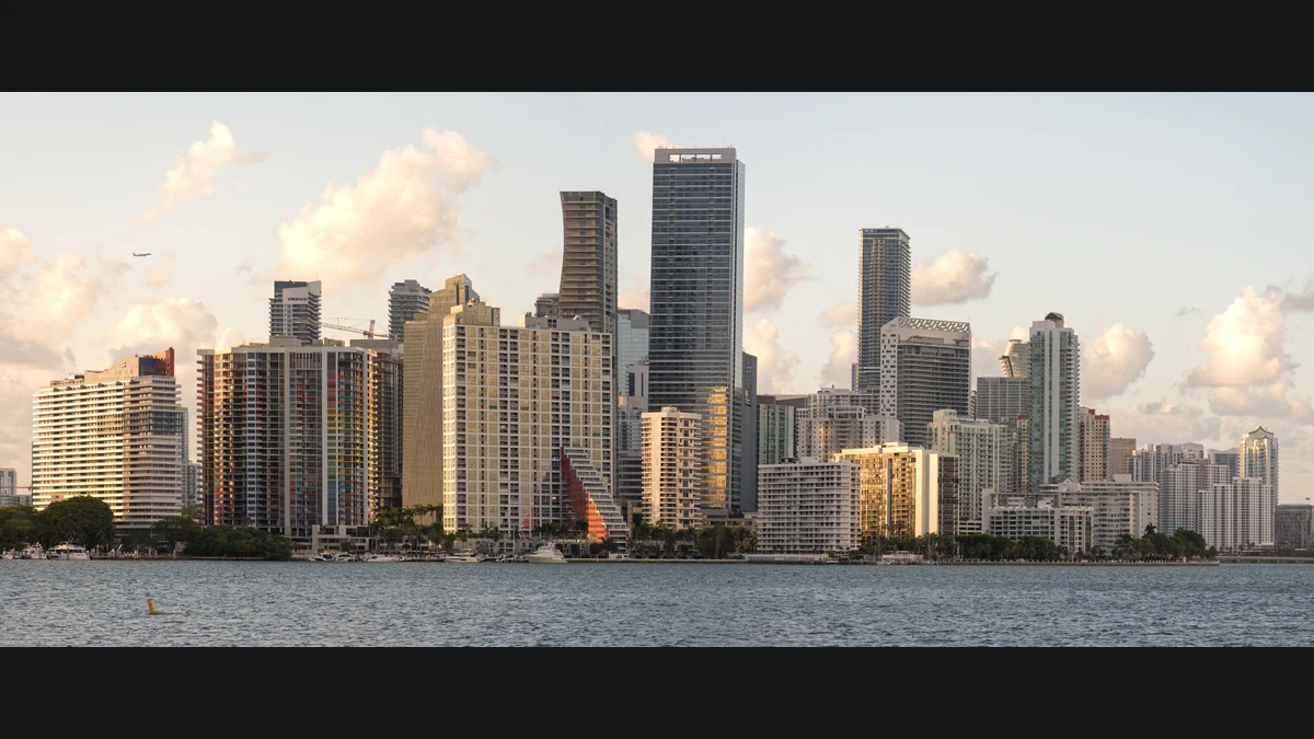
Pick a contrast instead of six stops
Rockstar’s gallery lists Vice City, the Leonida Keys, Port Gellhorn, Ambrosia, Grassrivers and Mount Kalaga National Park separately. Treat those as names to recognize, not destinations you are obliged to reach in order. Pick two settings you can already get to in your own game. Compare the shape of a built-up area with a more open landscape, for example, or notice whether you use the waterfront in the same way in two different places. If the first pair you chose is not accessible at your stage, switch examples rather than searching for a way to unlock it.
The real photographs in this article offer a quick demonstration. Miami’s skyline gives the eye a set of tall silhouettes, with the waterfront cutting a clear line across the image. In the open Everglades landscape, the eye travels across low vegetation toward a much broader horizon. One makes vertical shapes easy to distinguish; the other makes the relationship between foreground and distance more apparent. These are visual analogues for Vice City and Grassrivers, not game screenshots or evidence of a street-for-street match. You can compare them with Rockstar’s “Vice City 13” and “Grassrivers 07” cards without assuming that either screenshot gives you directions.
[[image:everglades]]
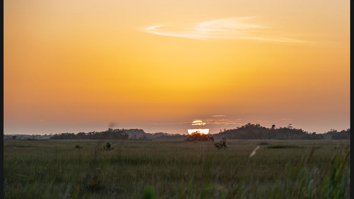
Try finding your way back from a single landmark
Before following icons, choose something you would recognize from the other direction. A prominent building can be obvious at a distance and still give you no clue about which intersection you passed. Pair it with a nearby reference, such as a turn in the street or the position of the water. In an open landscape a distant point might look almost unchanged as you travel. In that case, look for a second, closer reference that gives you a better sense of movement. This is a way to improve your mental picture of the area, not a claim that a particular road, crossing or landmark is present in the game.
Begin at an easy-to-recognize point, go on a short detour and see if you can retrace it. You do not have to switch off the map or enforce rules about checking it. If you lose your bearings, open it long enough to answer one question: did I go in the direction I thought I did? Afterward, describe the route in two sentences. Name the thing you used on the way out and the thing that actually helped on the way back. Try the same exercise somewhere that looks different. A selected promotional screenshot can suggest a feature to notice, but it does not establish that a route is open or that an event will repeat in your session.
Open a guide only when you have a question
If you want the name of a place, consult the official map first. If you are stuck on a mission, search for the objective already displayed in your game and stop when you find the relevant answer. Broad lists of secrets and recommended mission orders often answer questions you have not asked. If the problem is merely getting back to where you started, you might only need the waterfront, a turn you remember or one building you can recognize. Save walkthroughs for questions you cannot answer just by looking at the map.
When sharing a route, say where you started, what you used as a landmark and whether it depended on progress you had already made. Separate what you saw in play from what you only noticed in the gallery or a Florida photograph. That leaves the next person enough context to try the route without telling them what to expect around every corner. A good short exploration session is not measured by the number of names you cross off. It is measured by how easily you can tell two places apart when you remember them later.
See the official map
Use Rockstar’s map when you want to find a region or check its name.
Becoartes - Beco do Batman
99 Gonçalo Afonso Street, Vila Madalena, São Paulo